Career Spotlights


Miguel Castrence
How did you find yourself in conservation? Who (or what) is your biggest inspiration in committing to this field?
My first experience in conservation was through an AmeriCorps program in Fort Ord, California. A botanist with the Bureau of Land Management would send a team into the field with old aerial photo prints and GPS receivers to search for rare and threatened plant species and identify their locations. After each field survey, we would return to the office and give our data to someone working on GIS (geographic information system). Seeing the maps that were created from our fieldwork inspired me to pursue further education in GIS/remote sensing and apply those skills to natural resource management.
Describe a typical work week or work day.
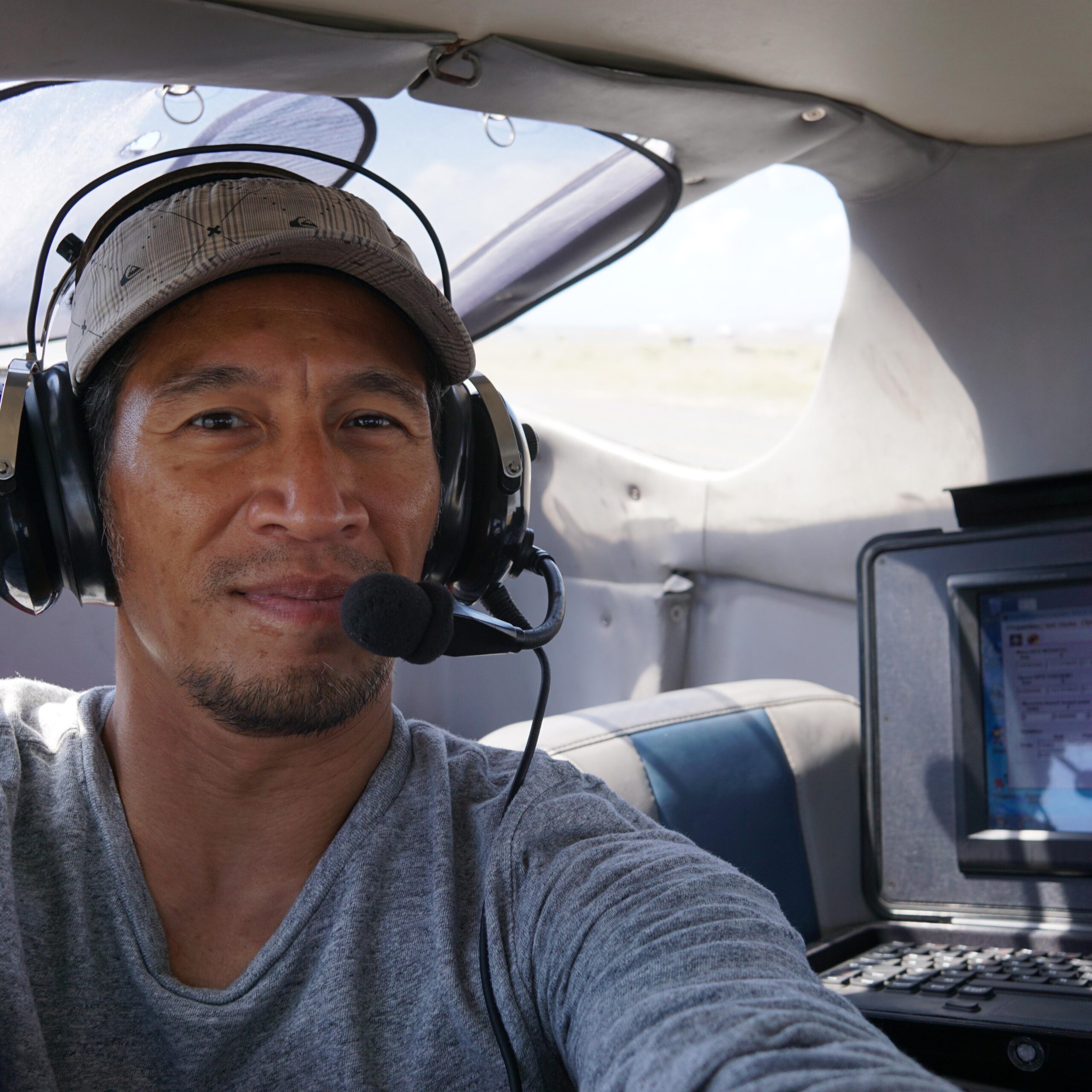
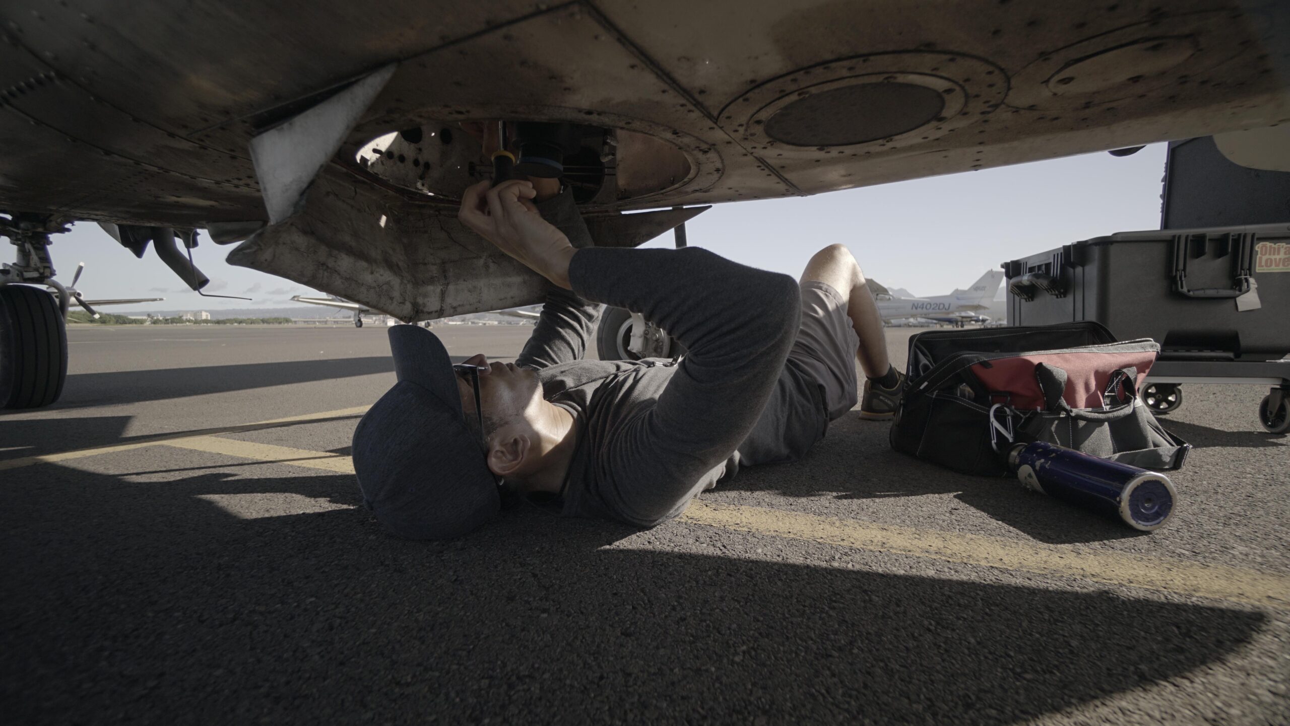
My work schedule/environment is anything but typical. Resource Mapping Hawaiʻi (RMH) doesn’t have a physical office, so I’m either working from home, hanging out at the airport, or visiting other folks’ offices. On any given day I could be working on logistics (creating flight plans in GIS, coordinating with clients, pilots and air traffic controllers, monitoring weather), client relations (answering technical questions, giving presentations, searching for new contracts), equipment maintenance (fixing and troubleshooting electronics and other hardware), data wrangling (management and analysis), research and development (writing up results for presentations and publications, learning about the latest mapping technologies like UAS [unmanned aircraft system]) or fieldwork (data collection and flying). Of course, the fieldwork is the most exciting part, but it’s just a small percentage of my numerous responsibilities. Overall, having a variety of tasks is what keeps my job interesting.
What is your most favorite or valuable memory working in the conservation field?
Conservation work has allowed me to explore many beautiful landscapes around the world: the maritime chaparral of the central coast of California, the cloud forests of Central America, the coral reefs of the Philippines and Australia… My favorite would have to be working as a scientific diver on a month-long research cruise on the NOAA Ship Hiʻialakai through Papahānaumokuākea! Although I am not a marine biologist, I was offered a research assistantship at the Hawaiʻi Institute of Marine Biology because of my GIS skills, which were applied in a study of spatial genetic structure of corals on a patch reef.
What is conservation to you?
Conservation is being a part of something bigger than oneself and getting involved in the community. It’s understanding the interconnectedness of social and natural systems, dealing with the collective consequences of our individual actions, and finding solutions that benefit the greater good.
What advice do you have for students or emerging professionals?
My career path has been long and winding. While I wouldn’t advise anyone to follow a circuitous route, I strongly believe in the benefits of serendipity. Even if you aren’t on a direct career path, there are plenty of skills that can be acquired in other fields that are directly applicable to the interdisciplinary field of conservation. It’s really a matter of finding your niche, and it’s helpful to keep an open mind to new experiences that could serve as learning opportunities and stepping stones.
It’s also important to realize that there are many indirect ways to support conservation. While RMH got its start in remote sensing for invasive plant species, the expertise we’ve developed for acquiring ultra-high resolution geospatial data over remote and rugged landscapes has much broader applications to a wide variety of fields. Likewise, being able to work in other industries helps keep us on the cutting edge to support conservation projects.
